
")

")

Status
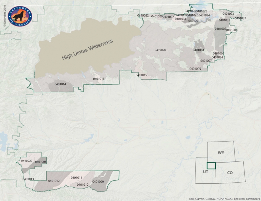
In November 2019, Y2U, along with The Wilderness Society, Grand Canyon Trust, Defenders of Wildlife, Argyle Wilderness Preservation Alliance, Western Resource Advocates, Utah Native Plants Society, and the Sierra Club, submitted comments on the Ashley National Forest Proposal to Revise the Land Management Plan and Evaluation of Potential Wilderness Inventory Areas. While we appreciate the work that has been done to facilitate transparency and public engagement during this land management revision process, we have major concerns with the approach the Forest Service has taken. Our concerns primarily lie with the Forest Service’s misapplication of the wilderness criteria, the lack of wilderness suitability determinations, ensuring adequate management of wilderness areas, and ensuring that a proper range of alternatives are considered.
Among our chief concerns is that roadless areas continued to managed for wildlife, clean water, and opportunities for backcountry recreation which allows visitors feel as if they are in a natural place devoid of roads where they can explore, observe nature, and challenge themselves.
See attachment below for full comments.
Expected Outcome
We will continue to monitor, provide commentary, and work with the Forest Service on this Land Management Plan.